Urban Planning
- Home
- Urban Planning
Building smart cities
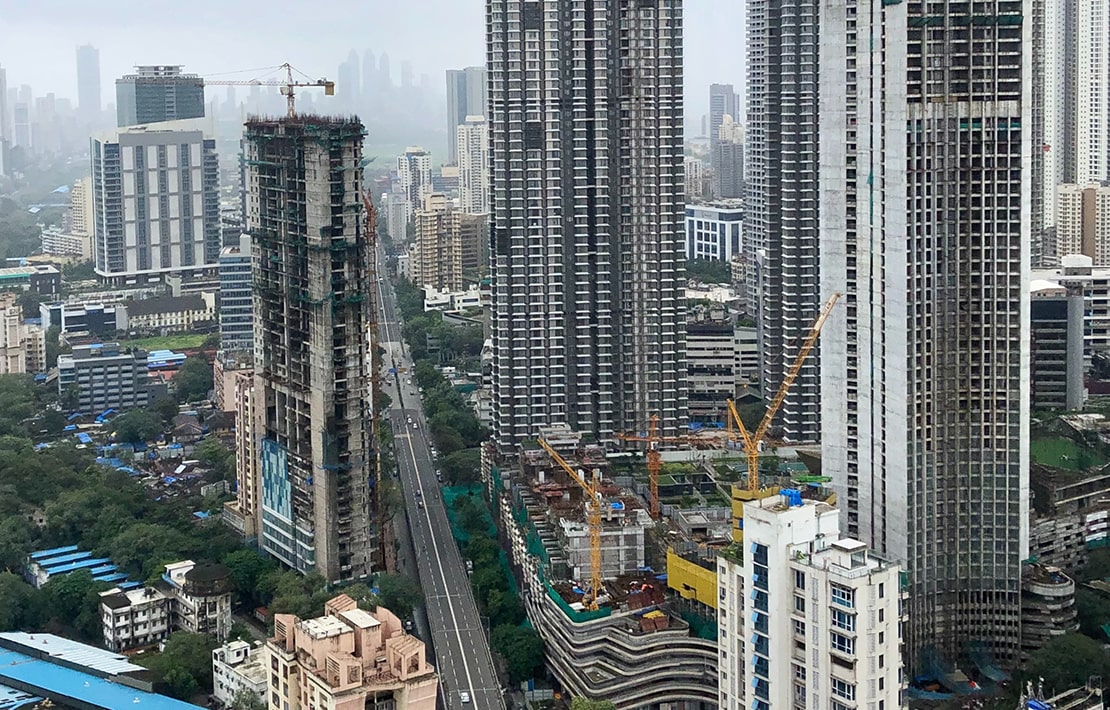
Smart cities are not just a futuristic dream anymore, it’s happening. From villages to the largest metropolitan cities, each and every municipality has the capability to improve quality of life using spatial data.
The time has come to reign in the concept of location data in order to sustain and improve the overall functioning of a country. These insights can vary from day to day improvements to tackling large scale economic problems such as fair distribution of resources.
Identifying key locations for new transit infrastructure such as bus stands, metro stops, traffic signals, and roadways paramount to manage high traffic zones, enhance emergency response services, and improve road safety.
Improve decision making with data-backed analysis to identify neighborhood gentrification and population mapping to revise and ameliorate waste management plans, infrastructure investments, and a lot more.
Natural and man-made disasters are inevitable in any city, therefore creating a need to be prepared with immediate and long-term relief using location data to optimize resource distribution, damage mapping, and strengthen infrastructure planning.
Base government programs, subsidy distribution, stimulus packages on data by identifying low-income clusters and profiling citizens into segments.
Solutions for your business
Contact Us
GET A DEMO
WHERE WE ARE